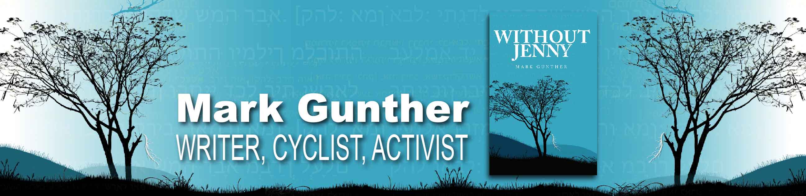
So what you always do when you stay in Copacabana is go to the Isla del Sol. Alissa, in her usual fashion, had another action packed day for us, albeit with a lot of travel overhead–three and a half hours on a boat and four hours in the car.
Getting off the ferry at the North end of the Isla
The boat was packed. We though it was full and they kept putting more people on it! Third world ferry capsizing stories were not far from my thoughts, but fortunately the lake was calm and the trip proceeded without incident. We then walked a Inca road paved with beautifully fitted stones to a site, the Inca provincial capital from which communications with Cuzco were carried out.
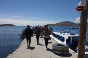
Remains of the palace
I’m glad I’m getting the chance to see Inca ruins here prior to going to Cuzco. It delivers a strong sense of the expanse of the empire and the network of roads that kept it linked together. And you get a strong sense of population, here in Bolivia.
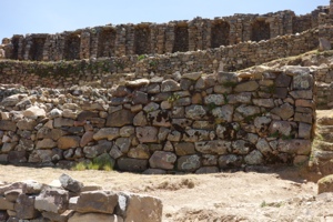
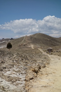
Terraces
Look at this photo. two points to make–Every single hillside surrounding Lake Titicaca is covered with terraces, everywhere you look: tens of thousands of acres, like the abandoned ones in the background. The comparison of the volume of used to unused in this photo drives home how efficient the Spaniards were at decimating the population. Then of course they made sure to build their churches smack dab on top of the local holy sites, and scavenge building materials by systematically dismantling Inca construction. But enough bemoaning of imperialism. We, on the other hand, enjoyed the fruit of Incan labors by walking their road across the island.
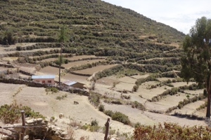
The road south.
br />
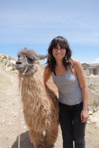
Alissa’s new friend
The photo above doesn’t show the paved portions of the road, but there was a lot of engineering that went into it. Some places if followed the contour, others it went straight up over the top of the nearest hill. This road was built with both aesthetics and practicality in mind. In any case, it was work! Although I definitely managed the altitude better than I did yesterday, we were both pretty cooked when we got to Yumani, the town at the South end of the island set on a steep slope that ranged most of the way down to the water. We entered town at the top of the ridge and ate our almuzero, or three course Bolivian lunch, in a yurt shaped dining room with a grand sweeping view of the water and land beyond (almost all of which was covered with abandoned terraces). After lunch we made our way down the steep, steep village road to the water, encountering the local trucking Industry along the way.
There are cases of Coca-cola in those panniers.
After the interminable boat ride back to Copacabana, we were met by Domingo for the luxurious drive back to La Paz. Alissa is used to being in Minivans with twenty people, so having two was a real luxury. Domingo turned out to be fountain of knowledge about the local region and knew more than yesterday’s guide did about the observatory. With Alissa translating, we also talked about rural electrification, the politics of bridge building, fair distribution of government resources to the bulk of the population, traffic, elderly parents, how health policy affected him, and a few other topics. He knew a lot about government policy. How? They broadcast a couple of radio programs each week to educated the population on current policy matters.